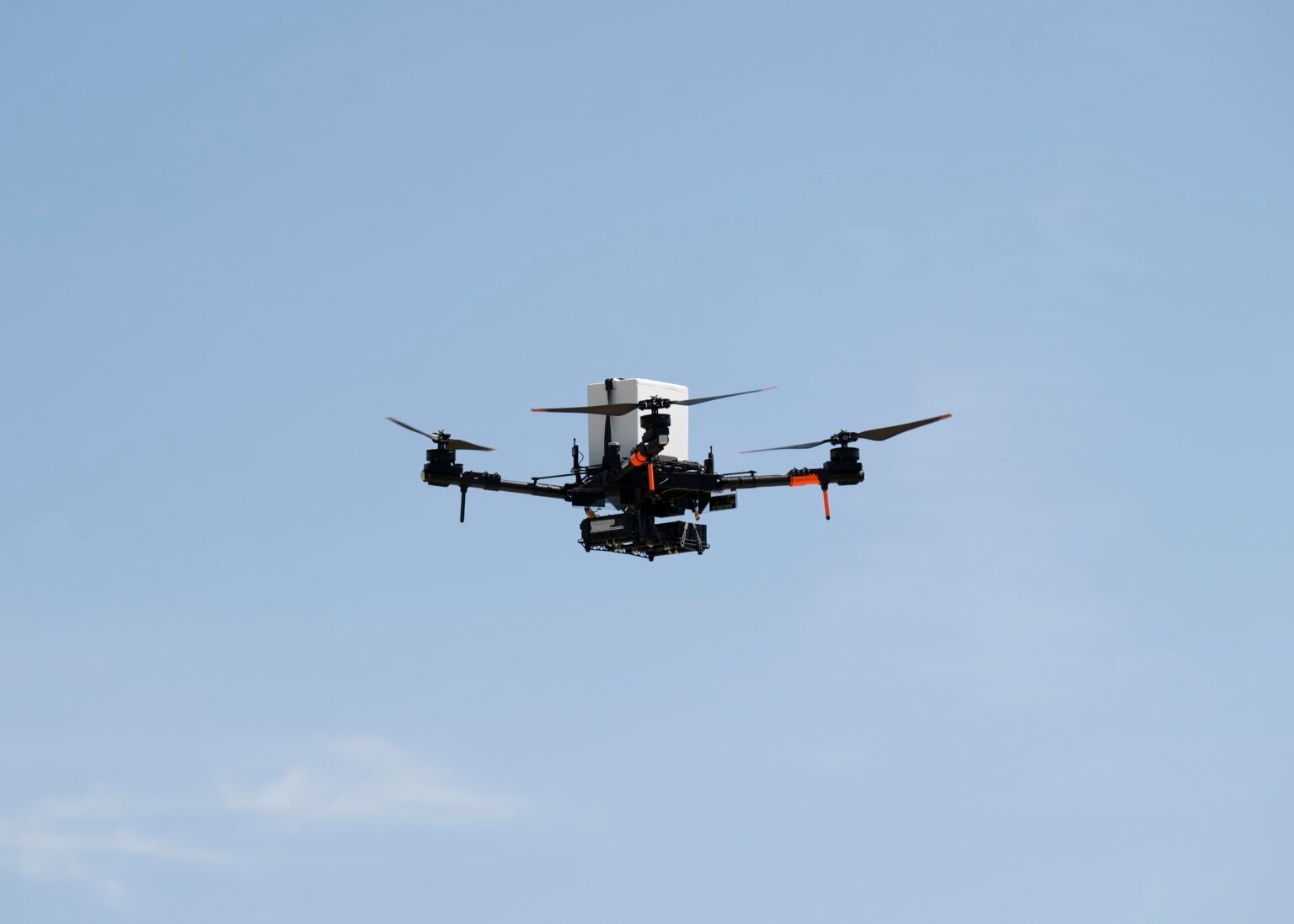
Dronamics has announced a partnership with Xcalibur Smart Mapping to develop an unmanned airborne geophysics solution for natural resource exploration over land and oceans. The initiative will integrate Xcalibur's geophysical acquisition system with Dronamics' Black Swan drone platform.
According to the companies, the solution will combine magnetometry and gravity technologies to support exploration of critical minerals, rare earth elements, freshwater resources, and other strategic assets. The goal is to expand access to airborne geophysics in remote or high-risk areas while reducing risk to aircrews and improving operational efficiency.
The global airborne geophysics market is valued at more than $1.35 billion in 2026 and is expected to continue growing due to rising demand for critical minerals essential to the energy transition.
Dronamics stated that its Black Swan aircraft, designed for long-range and heavy-payload missions, can carry advanced sensors and data acquisition systems developed by Xcalibur. The companies plan to conduct demonstration flights in late 2026 and evaluate projects across multiple regions worldwide.
The partnership expands Black Swan's civilian applications, which already include cargo logistics, climate resilience surveys, and now airborne geophysics for resource exploration.